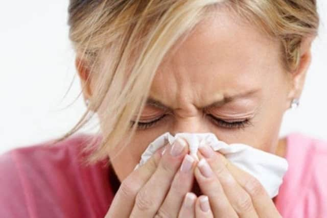
Flu hotspots map shows '˜very high' reports in Portsmouth as Aussie flu strain hits UK


The interactive map shows the areas with the worst outbreaks of the illness reported.
Updated every three minutes, the map shows all types of the flu bug, including the potentially deadly Aussie flu strain which has arrived in the UK. The map indicates a gradient of no reports (blue) to ‘very high reports’ (red) of all types of flu as reported by users.
Advertisement
Hide AdAdvertisement
Hide AdUsers upload reports themselves, and the data from the FluSurvey map is used by scientists at Public Health England and London School of Hygiene and Tropical Medicine.
It comes after news that thousands of patients nationwide - including at Portsmouth’s QA Hospital - could face delays to operations due to NHS winter pressures.
How does your area compare? You can zoom in on your area by clicking here.
The map shows Portsmouth in red, the highest category, as well as Gosport, Fareham, Havant, Waterlooville, Hayling Island and Chichester.
Advertisement
Hide AdAdvertisement
Hide AdPublic health officials have warned people who are eligible for a free flu vaccine to get it ‘without delay’.

People should recover from normal flu within a week or so, although some symptoms like a cough can last longer.
If you are still ill after seven days, it is a possible indication of a more serious sickness.