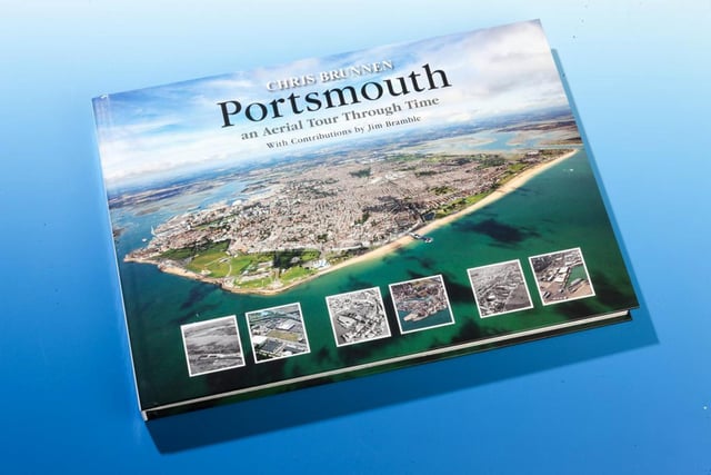
Chris Brunnen published a set of photographs, named Portsmouth Area: an Aerial Tour Through Time, which has snapshots taken by helicopter of the city but also the wider area – including Havant, Gosport, Lee-on-the-Solent, Fareham and up the A3 to Waterlooville.
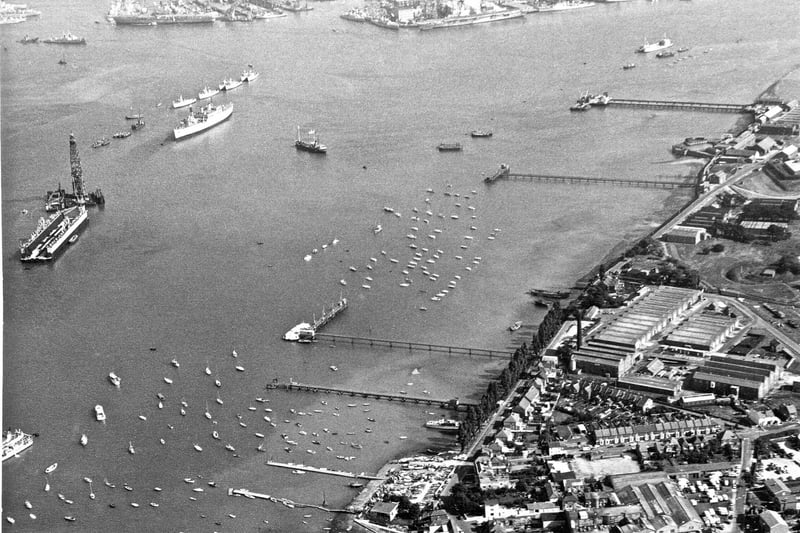
Among the 260 photos are shots from the 1950s and ‘60s taken by Jim Bramble, Chris’ school teacher in the 1970s, compared to Chris’ shots from the 1980s onwards.
Chris said: ‘Flying in a helicopter at an altitude of around 1,000ft, we will see many sites of local and historical interest but I am no historian so this is not, strictly, a history book.
‘What this book is, however, is a visual history: a record to show how Portsmouth has changed, not just over the 30 years that I’ve been flying but combined with Jim’s, over more than 60 years – and the difference is fascinating.
‘What I have done is try and identify the buildings and places in these photographs that have been lost to history, or in some cases preserved, so you can look into them further if you wish.’
The book follows the style of his first publication Portsmouth: an Aerial Tour Through Time.
It is available at New To You Books in Cosham or from aerialtourthroughtime.co.uk. The book is also available in paperback in a slightly smaller format.
Join our new Portsmouth Retro Facebook group to find more fascinating photos and memories from Portsmouth’s past.

13. Portsmouth an Aerial Tour Through Time by Chris Brunnen
Hardway, Gosport Photo: The News archive

14. Portsmouth an Aerial Tour Through Time by Chris Brunnen
The cover of Chris Brunnen's new book Photo: The News archive

