Warnings of rain turning to snow and travel disruption amid yellow weather warning by Met Office
and live on Freeview channel 276
The forecaster yesterday issued a yellow weather warning for the south east from 2am to 8am on Monday morning. ‘There is a chance that heavy rain will turn to snow in places, which may cause some travel disruption on Monday morning,’ a statement said.
READ NOW: Councillor expelled from Labour party
This morning the Met Office has said the weather will be ‘cloudy with persistent rain through the morning’ before adding: ‘Rain heavy at times perhaps falling as snow in a few spots. Becoming drier through the afternoon, with isolated wintry showers possible. Temperatures quickly fall into the evening. Maximum temperature 6C.
Advertisement
Hide AdAdvertisement
Hide Ad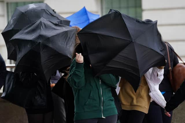

‘A very cold night ahead with clear skies initially. Temperatures will drop below freezing across the region with a sharp frost expected, as well as a risk of icy patches. Minimum temperature -3C.’
For Tuesday, the Met Office added: ‘Very cold conditions will continue on Tuesday, remaining dry with temperatures only reaching low single figures.’
Flood warnings have also been put in place by the Environment Agency. ‘Local river flooding impacts are expected in East Sussex and Isle of Wight on Monday. Local river flooding impacts are possible elsewhere in south east England,’ a statement said.
‘Slower responding rivers, particularly in parts of the West Midlands and north east England are likely to remain high through the next four days leading to further river flooding impacts at times.
‘Local groundwater flooding is probable in south England for the next five days. Land, roads and some properties could flood and there could be travel disruption.’