Charles becomes king


Not so, says Mr D James of Alverstoke, Gosport, and he sent me a map to prove it.
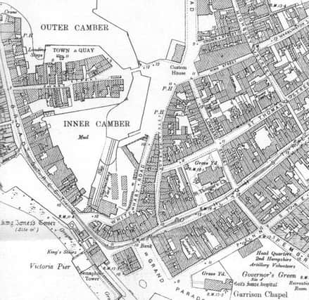
As can be seen in this 1860 map, it was plain King Street back then. Mr James thinks it Charles was added after the war to stop any confusion with the other two streets named the same. There was also King Street in Portsea and another in Southsea not to mention King’s Road and King’s Terrace.
Advertisement
Hide AdAdvertisement
Hide AdThe map also shows the tram depot in Broad Street, the former Town Quay, now the site of the sailing club and the very long slipway of the shipping yard in the Camber.
The former buildings that stood in front of the cathedral before the blitz destroyed them can also be seen.