Hampshire weather warnings: lighting and high winds pose risk of travel delays and power cuts in Portsmouth, according to Met Office
and live on Freeview channel 276
Rail, roads and the electricity grid could be disrupted amid warnings of lightning on Wednesday, August 2. Alongside forecasts of “unseasonably” strong wind, the city could see hail from 2.00pm and thunderstorms from 4.00pm. The Environment Agency has issued 15 flood alerts for areas including Portsmouth, the Isle of Wight, Poole and Christchurch.
Flood warnings are currently in place between Fareham and Portchester, Hayling Island, Hillhead and Gosport, Langstone and Emsworth Harbour and Portsmouth.
Advertisement
Hide AdAdvertisement
Hide Ad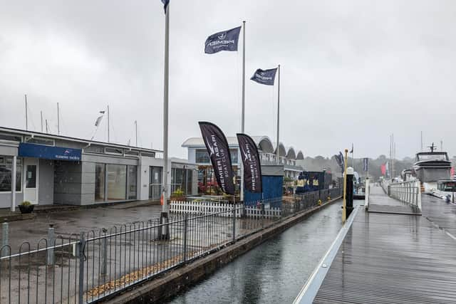

In anticipation of the potentially dangerous conditions, harbour tours at Portsmouth Historic Dockyard have been cancelled while people parked near Swanwick Marina have been advised to move their vehicles to higher ground as the area is expected to flood around high tide.
Oli Claydon, a spokesman for the Met Office, said: “The rainfall comes in quite an intense downpour so we could see some surface water issues on the roads, for example.
“We could see some lightning strikes in amongst that which could cause some disruption to power services. Those sorts of impacts, and delays to public transport, are possible as well.”
Mr Claydon added that Wales, central England and south-east England could see 25mm of rain falling in an hour and up to 40mm accumulating over a few hours.
Advertisement
Hide AdAdvertisement
Hide AdHe warned that winds of 45-50mph could hit the whole south coast of England and the western Cornwall area will potentially see wind speeds of up to 60mph.
Mr Claydon said: “The weather (is) generally remaining unsettled, there is a sort of a calmer spell in parts of the west on Fridays as we get high pressure bringing slightly more settled conditions for a time on Friday in the west.
“But further wet, windy weather (is) expected by the time we get to Saturday, as another area of low pressure moves in from the west, so remaining unsettled. There are some early signs, there could be some potentially more settled or warm (weather), by the end of next week.
“So, there’s a lot of uncertainty around that because of the movement of the various low pressure systems across the Atlantic that would lead to that.”