Portsmouth sea defences: Plans unveiled for Portsbridge Creek to tackle “considerable and immediate flood risk”
and live on Freeview channel 276
Coastal Partners submitted plans to secure a 1.25km stretch along Portsea Creek, also known as Portsbridge Creek, between the Portsbridge Roundabout and the viaduct at the railbridge bridge at the other end to the north of Foxes Forest. The plans will be reviewed by Portsmouth City Council’s planning committee. The proposal would see the raising and replacing of existing defences so that a standard of protection can be sustained over the next 100 years.
North Portsea Island has more than 4,200 residential and 490 commercial properties, two access roads, a railway route, historical landfill sites, and 89 electrical substations at risk of flooding. Planning documents state: “Due to the low-lying nature of the land, condition of the existing coastal defences and the predicted effects of climate change, there is considerable and immediate flood risk to the North Portsea Island area. The scheme, as set out in the submitted plans and documents, minimises the impact on both the natural and historic environment, proposing significant mitigation against harm through the design, construction and operational stages.
Advertisement
Hide AdAdvertisement
Hide Ad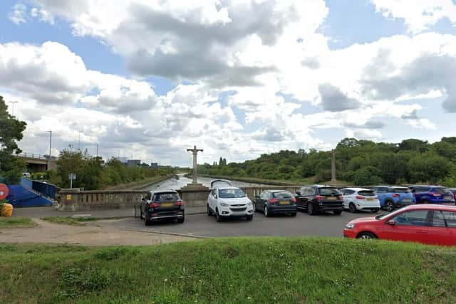

"Where possible, it also takes the opportunities to enhance and improve the character and quality of the coastal area and the way it functions, as well as specific enhancements for ecology, biodiversity and the experience of footpath users.” The defences have an embankment-based design using two different types of “rock and earth revetment/embankment”. These embankments are proposed to help form an improved coastal path which “will make it easier to walk and cycle and encourage more active travel and less reliance on car use”.
Planning officers have recommended approving the scheme they describe as an “essential piece of infrastructure for the city” and will contribute to Portsmouth’s economic growth. However, the project is supposed to be delivered through Flood and Coastal Erosion Risk Management Grant in Aid (FCERM-GiA) funding.
The maximum amount of FCERM-GiA funding for a project is determined by calculating a Partnership Funding (PF) Score, expressed as a percentage based on expected outcomes. Failure to meet the 100 per cent PF Score prevents unlocking grant funding, and partial funding is not allowed, potentially leading to the scheme being abandoned.