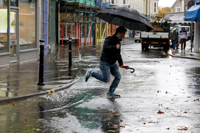
Portsmouth area flood warnings issued as "nasty conditions" expected following Met Office weather warning
and live on Freeview channel 276
Currently, flood warnings have been put in place by the Environment Agency for Gosport, Langstone and Emsworth, Old Portsmouth, Portchester, and Hayling Island with the areas “expected” to be hit.
It follows The Met Office’s forecast that winds of up to 65mph are expected to hit the city this evening and are likely to disrupt travel by road, rail and sea. According to the forecaster, some coastal routes, sea fronts and coastal communities are likely to be affected by spray and large waves. Power cuts could also affect people in the region.

Advertisement
Hide AdAdvertisement
Hide AdIn a statement posted on social media, the Environment Agency South East said: “These high winds forecast by @metoffice will combine with high tides and large waves around midnight tonight. We're expecting some really nasty conditions across the South East with a number of flood warnings likely to be issued”
When will the winds hit?
The Met Office yellow wind warning is in place from 9.00pm on Monday, April 8 until 9.00am on Tuesday, April 9. The Met Office has urged people to take precautions during the tumultuous conditions. A statement from the forecaster said: “A spell of strong onshore winds will affect parts of the England Channel coastline overnight Monday and Tuesday morning. Gusts will reach 45-55 mph just inland from the coast and potentially 65 mph for exposed coastal spots. Later on Tuesday morning the wind will ease and the direction change to offshore.
“If you are on the coast, stay safe during stormy weather by being aware of large waves. Even from the shore large breaking waves can sweep you off your feet and out to sea. Take care if walking near cliffs; know your route and keep dogs on a lead. In an emergency, call 999 and ask for the Coastguard. Be prepared for weather warnings to change quickly: when a weather warning is issued, the Met Office recommends staying up to date with the weather forecast in your area. Give yourself the best chance of avoiding delays by checking road conditions if driving, or bus and train timetables, amending your travel plans if necessary.
“People cope better with power cuts when they have prepared for them in advance. It’s easy to do; consider gathering torches and batteries, a mobile phone power pack and other essential items.”
You can stay up to date with the latest weather information on the Met Office website or by following BBC Weather.
Comment Guidelines
National World encourages reader discussion on our stories. User feedback, insights and back-and-forth exchanges add a rich layer of context to reporting. Please review our Community Guidelines before commenting.