
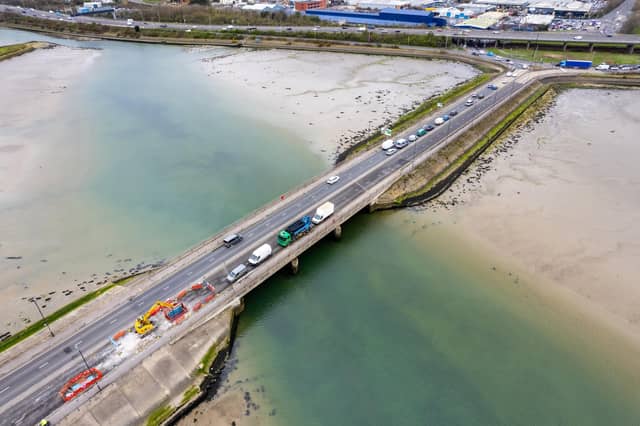


Data from the National Highways National Traffic Information Service (NTIS) show which A roads have seen the most delays for motorists.
The information covers 2023 and is calculated to measure seconds per vehicle per mile of congestion.
A roads across the Portsmouth area have been included in the list. Many of them are busy commuter roads which link towns and cities.
Here are the 9 most congested roads in the Portsmouth area, according to the NTIS.
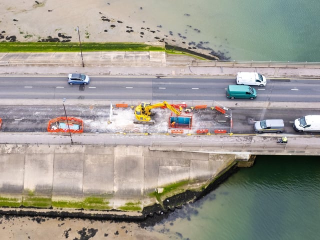
5. 6 - A2030
The A2030, which covers Havant Road and Eastern Road, is the sixth most congested road in the Portsmouth area. The average delay was 64.9 seconds per vehicle per mile in 2023. Photo: Alex Shute
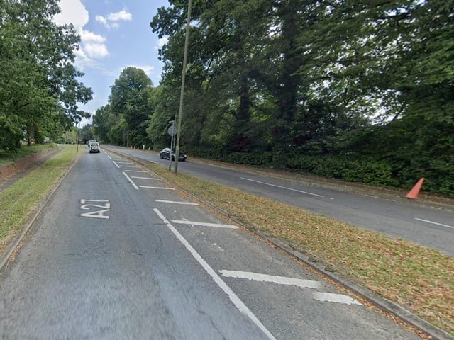
6. 5 - A27 Bursledon and Southampton area
The A27, which covers Providence Hill and Bridge Road and travels through Bursledon past Sarisbury and through Titchfield, is the fifth most congested road in the Portsmouth area. The average delay was 74.3 seconds per vehicle per mile in 2023. Photo: Google Street View
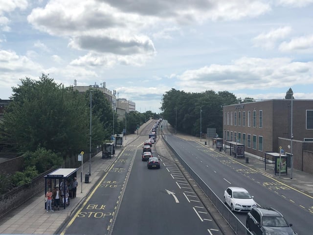
7. 4 - A397
The A397, which covers the Spur Road roundabout and Northern Road in Cosham and Drayton, is the fourth most congested road in the Portsmouth area. The average delay was 76.1 seconds per vehicle per mile in 2023. Photo: Millie Salkeld
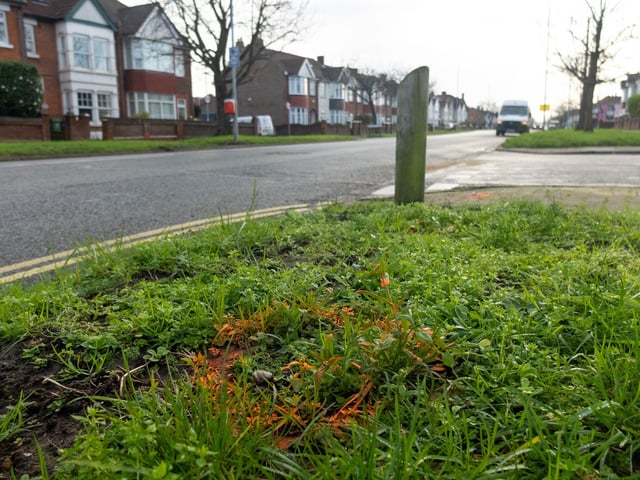
8. 3 - A288
The A288 from Hilsea to Landport, which covers Copnor Road, Milton Road, Eastney Road, Cromwell Road, St George's Road, Eastern Parade, St Helen's Parade, South Parade Pier, Clarence Parade, Western Parade, King's Terrace and Landport Terrace, is the third most congested road in the Portsmouth area. The average delay was 79 seconds per vehicle per mile in 2023. Photo: Habibur Rahman