Cold weather health alert issued as Portsmouth temperatures set to drop and snow forecast - Met Office and government advice
and live on Freeview channel 276
According to the Met Office, Portsmouth will see colder weather this weekend and into next week and the trend is likely to continue as we head further into January. The UK Health Security Agency has put a yellow “cold-health alert” in place for much of the country – including Hampshire – with impacts of the change including an “observed increase in mortalilty across the population”. Those over the age of 65 or with underlying health conditions are most at risk.
According to the Met Office, Portsmouth will see temperatures as low as 1°C on Monday, January 8.The forecaster also predicts an “increasing chance” of snow falling over the next couple of weeks.
Advertisement
Hide AdAdvertisement
Hide Ad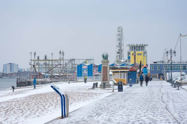

A national outlook statement from the forecaster said: “Next week will begin mostly dry with variable amounts of cloud and some sunny spells. The sunniest weather is likely to be in the north and west. Elsewhere, probably mostly cloudy with a cold easterly breeze developing in the south. By the middle of next week, the wind should ease and, with high pressure in charge, there should be a good deal of dry weather. Cloud amounts will continue to be quite variable, but all areas should see some sunshine at times. Much colder than recently, with frost probably becoming quite widespread and some freezing fog patches are possible in places. Beyond next week, conditions are likely to remain cold, with an increasing chance of some snow showers, developing particularly in the north.”
For the period between January 19 and February 2, the Met Office reports: “Compared to normal, there is an increased chance of colder than average conditions during this period. Currently the chance of widespread severe cold is still deemed low, but still the risk of impacts from cold, including ice and snow is greater than normal. It is likely to be drier than recent weeks, but what does fall is more likely to be of a wintry nature. While there is a chance of brief, unsettled spells, which would bring milder air for a time, it would likely also be accompanied by a period of sleet or snow. However, when, or even if, this would happen is very uncertain, and overall the main theme will be much more in the way of settled conditions through this period.”
The turn to colder weather comes after widespread disruption in the wake of Storm Henk, with flooding seen across the region after days of heavy rainfall on water-logged ground. Storm Henk brought some heavy showers but primarily strong winds earlier this week, with gusts exceeding 70mph in some places. Damage was caused to several buildings including a flat block in London Road, Hilsea. The Met Office has issued an up to date forecast for today.